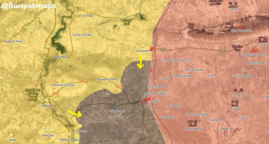
These map provides a look at the military situation in the countryside of Deir Ezzor and a part of the Syrian-Iraqi border area:
- US-backed Forces Advance 8km Deep Into ISIS-held Area In Syria’s al-Hasakah Province (Photos)
- Syrian Democratic Forces Repel Syrian Army Attack In Deir Ezzor


So does the SAA still have some of the territory captured from SDF? Did the SDF only recapture the towns but not all the way to the Euphrates?
Read between the lines….where was the US air force during the battle??
if SAA/NDF still control junanah then its important slowly by slowly push SDF far from Euphrates till SAA get rid from all terriost in idlib and DAraa. then it will be SDF next east Euphrates.
The government and it’s allies are all over the SDF areas east of the river ahead of the front lines getting ready for the next phase of the war. That’s the stuff that you rarely read about in the media.
It looks like the government has a sizable position established on the east side of the river.
You could be right ad I hope so, but I am becoming confused with the scale of these maps now.
You can click the link for further clarification.
Oh right, I didn’t know that. Thanks.